
Kiwa-cho Nagao, Kumano City, Mie Prefecture Extensive woodland along the Akagi River, with no road frontage
- Price
- ¥6,295,050
- Area
- 282,617㎡
View surroundings on GSI Maps ↗
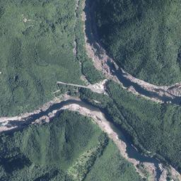
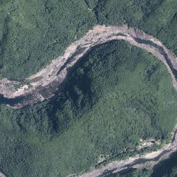
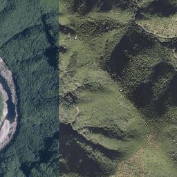
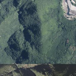
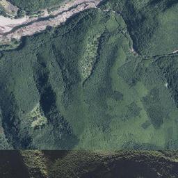
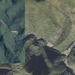
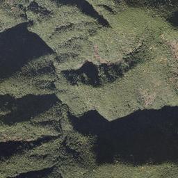
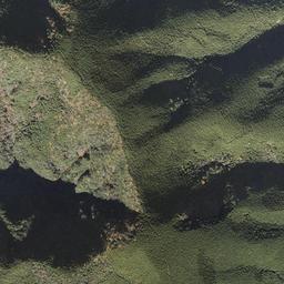
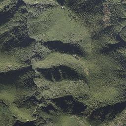
Woodland with a registered area stated as 282,617 m². The terrain is mainly steep, with a mix of planted and natural forest. A river separates the site from the public road, and there are no forestry access tracks within the woodland.
- Price
- ¥6,295,050 (approx. 69.835 acres) Price shown by the listing source: JPY 6,295,050. Please confirm additional costs with the listing source.
- First listed on Sawa Bank
- Location
- Kiwa-cho Nagao, Kumano City, Mie Prefecture
- Area
- 282,617㎡(approx. 69.835 acres)The registered area of 282,617 m² stated in the description is used here. The summary table shows a rounded figure of 28.26 ha.
- Land category
- Forest
- Stream relation
- Stream borders the property
- Road access
- No road frontage. The site is approximately 20 m from the public road, across the Akagi River. There are no forestry access tracks within the woodland.
- Points to note
- The listing source states that no national cadastral survey has been completed and that boundaries are subject to a disclaimer. Access routes, rights of passage, boundaries, and conditions for using the river require confirmation. Sawa Bank has not conducted a site inspection or terrain analysis.
- Listed by
- 山いちば
- Terrain analysis
- Outside coverage This property lies outside the area covered by our SAWA terrain analysis, which is complete for approx. 87,000 parcels in Hokuto, Nirasaki and Minami-Alps, Yamanashi and is being extended to other regions. For now, the stream relationship shown comes from the lister information.
Terrain and site conditions
Based on the source listing; separate from on-site verification or SAWA terrain analysis.
- Terrain (source)
- Steep slopes
- Road access
- No road frontage. The site is approximately 20 m from the public road, across the Akagi River. There are no forestry access tracks within the woodland.
- Cadastral survey / boundaries
- No cadastral survey (boundary disclaimer)
Source checked: · View source listing
Large area
Site conditions, boundaries, utility connections, whether you can build, price discussion — ask the lister directly about anything not shown here.
For the owner of this land, or the listing agent.
Corrections, photographs you would like published, or removal of the listing — all handled free of charge. Removal requests are actioned the same day.
Request a change to this listing
Please verify. Listing details come from the lister and include estimates derived from terrain data. Year-round flow, boundaries, water rights, road access and development feasibility must be verified on site and with the lister. This site makes no claim about future value or usability. Sawa Bank is not a real estate brokerage. We do not act as an intermediary or agent for land sales, exchanges or rentals. For property details, purchases or viewings, please contact the listing provider or seller shown on each property page directly.
About the stream
Borders
This parcel is outside the area covered by our terrain analysis (SAWA), or has not been analysed yet. The stream relationship shown here is based on information from the lister.
Details and enquiries Yamaichiba →
Enquiries go directly to the lister.
We do not receive or relay enquiries.
Lister page last checked: 2026.11.13


