ABOUT
Land with a stream
The use of land changes greatly simply by having water. At the same time, there are more things to check. I'll write both of them.
VALUE
What changes when you have a stream
The nearness of water is not just a matter of scenery. The land use itself will change.
Sound and temperature change.
When the stream passes through the grounds, there is always a sound of water, and in summer, cold air descends from the valley. This experience value is why campsites and glamping facilities place the waterside at the core.
Possibility of living water
Stream water, spring water, and subsurface stream water are important conditions for those who are thinking about self-sufficient living. However, water quality inspection is necessary to confirm whether it is safe to drink, and verification of the right relationship is necessary to verify whether it is safe for use.
It's rare, and it's fast.
The land adjacent to the stream is a very small part of the whole. The good condition zone tends to be determined in a short period after the market.
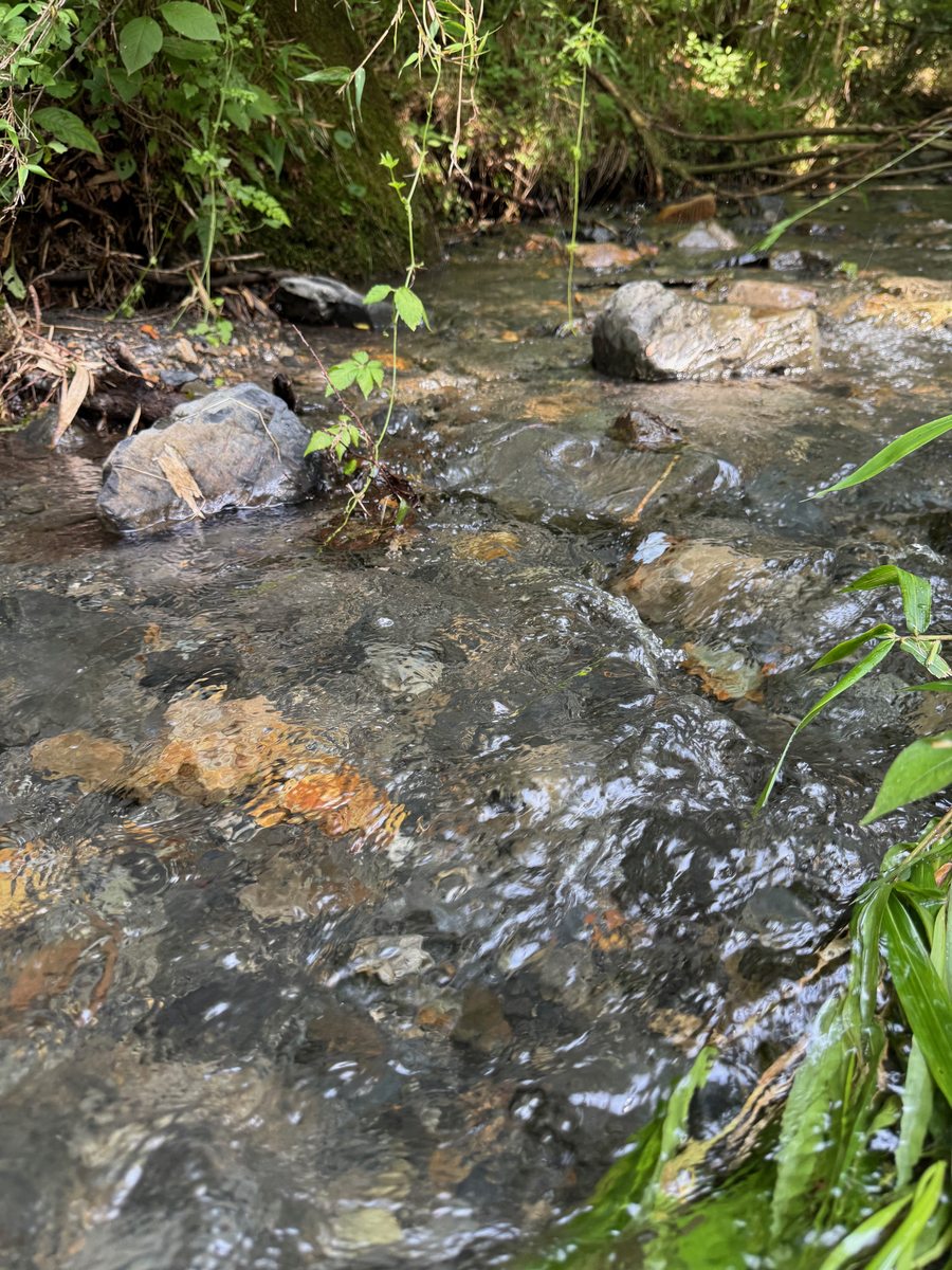 It's the fastest part of the flow.
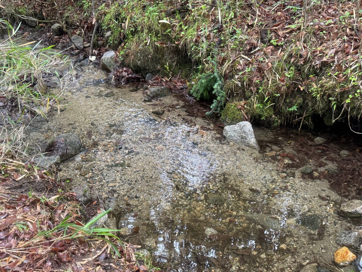 It's shallow.
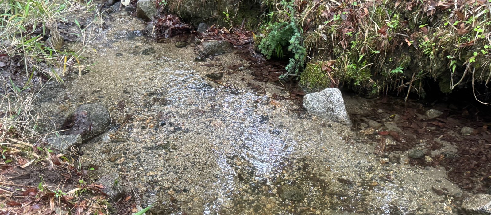
The two are different segments of the same stream. The flow of a stream varies from place to place, and the amount of water varies according to the season. When you look at the property,This difference of two sheets can happen on the same site.Think about it. In particular, whether the stream dries up in winter can only be checked by visiting during the dry season.
HOW
How do we determine the stream?
It is not based on whether or not there is a "stream" in the description of the property, but it is based on the land.

The water line.They are divided by origin. Dark blue shows mapped rivers, purple shows waterways on cadastral maps, and dashed lines show channels estimated from terrain. Colours distinguish confidence ranges of 80–100, 60–79 and 40–59. In the case of a flowing water on the spot, it is switched to a real line.
The bottom left is the top of the length through which the stream passes. This number per pen will be the length of the stream at the time of publishing.
- Estimate stream course
- We calculate the direction of water collection from the topographic data (DEM) of the Geospatial Information Authority of Japan, and extract the paths that can be channels.
- The junction with the land
- This is superimposed on the official cadastral map data from the Ministry of Justice to determine which landmarks the stream touches/passes.
- Seven indicators
- The relationship with the stream, the passage length, the catchment area, the looseness of the slope, the width of the flat land, the winter sunlight, and the correspondance of the disaster area.
- Checking public information
- The landslide hazard warning zone, flood inundation assumption zone, etc. are compared with the data of the Ministry of Land, Infrastructure, Transport and Tourism.
- I'm on the spot.
- The analysis of the topography alone does not reveal the actual flow. With the permission of the publisher/owner, we will take photos on the spot.
- Analytical range
- The topographical analysis (SAWA) has been carried out on about 87,000 parcels in Hokuto City and Nirasaki City, Yamanashi Prefecture. The listed properties in other regions are arranged in relation to the stream based on the information of the listing source, and the parsing values are not displayed. The range is gradually expanding.
The first stage is shown on the screen. From the topographic data to the estimation of the flow path, the work is done on the desk. These lines mark routes where water is likely to flow; they are not confirmation of flowing water. You can't know whether there is water or not all year long until you go to the place. This is the reason why the estimation stage and the stage confirmed in the field are separated on the screen and in the publication.
CAUTION
What I want you to know first.
The water in a stream is not always freely available. The river law and the customary water rights of the region may impose restrictions on water extraction and installation of workpieces. If the use is a prerequisite, please always check with the competent department in advance.
There are many lands whose boundaries are unknown. In many cases, the cadastral survey of undeveloped land is not completed, and the actual area may not match the cadastral map.
Stream courses include estimates. Even 1 m terrain data cannot identify culverts, pipe drainage or small flows hidden by tree canopies. There are also streams that are cut off during dry seasons.
It is not always possible to build it. Other conditions are involved in building and construction, such as road access, urban planning, protected forest designation, and development permit. This site does not determine whether those activities are permitted.
This site is the primary desk material for finding candidate sites.It does not promise the increase of the asset value or the possibility of development and use.Final judgment should always be based on local verification and verification by the publisher or expert.