Official source pages and map tiles may be in Japanese. Prices are in Japanese yen.
HOKUTO / YAMANASHI
From Hakushu to the southern slopes of Yatsugatake, Akeno and Sutama.
Hokuto. Everyday life among water and woods.
Clear streams and forests in Hakushu, highlands below Yatsugatake, flowers and mountains in Akeno and Sutama. Each of Hokuto’s eight towns offers a different way to spend your time. Start in Hakushu and discover the city, whether for a day trip, regular visits or a closer look at somewhere to live.
Start with the scenery you love. Find your place in Hokuto.
Clear streams, highland woods and farmland with mountain views. Explore eight towns through the tourism association’s three areas. Even within one town, check living conditions at each individual location.
01 / WATER
Hakushu & Mukawa Clear streams at the foot of the Southern Alps
The colors of the Ojiro River, Hakushu’s forests and Daigahara’s historic streets. In Mukawa, the Yamataka Jindai cherry tree and Kaikoma CC are more reasons to visit.
Enjoy the visit
Waterside scenery, sake breweries, forest walks and golf.
Try everyday life
Check the height difference between river and land, domestic water supplies and vehicle access together.
Kobuchisawa, Nagasaka, Oizumi & Takane Highland time below Yatsugatake
Kiyosato Highlands, Seisen Ryo, art museums and springs on Yatsugatake’s southern slopes. Enjoy a view, take a walk or explore art, depending on the day’s mood.
Enjoy the visit
Highland walks, springs, art museums and places to eat.
Try everyday life
Check travel from the station, elevation, winter sunlight and winter protection for water pipes.
Akeno & Sutama From fields of flowers to mountain valleys
Seasonal flowers and Heidi’s Village in Akeno; Mount Mizugaki and Masutomi’s natural surroundings in Sutama. Choose between open farmland and mountain scenery to suit your visit.
Enjoy the visit
Seasonal flowers, rural landscapes and mountain views.
Try everyday life
Check routes to shops and medical facilities you would use, including slopes and shaded stretches.
Search Hokuto listings using the town name as a keyword. Some towns may have no matching listings at present.
A DAY, A SEASON, A LIFE IN HAKUSHU
Rivers, forests and a historic town. Three ways into Hakushu.
Hakushu lies on the Southern Alps side of Hokuto. The Ojiro River flows from Mount Kaikoma, a distillery stands in the forest, and Daigahara preserves a post town on the old Koshu highway. Visit both waterside and town to see how nature connects with daily food and work.
01
Take in the colors of the water
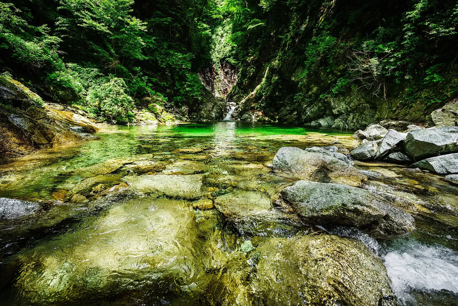
Head to Sengafuchi on the Ojiro River. Pause to enjoy white rocks and green water. If you intend to continue farther into the gorge, plan it as a mountain hike rather than a casual stroll.
Daigahara’s sake brewery and Japanese sweets, vegetables and rice at the roadside station. Discover this region of celebrated waters through food and shopping.
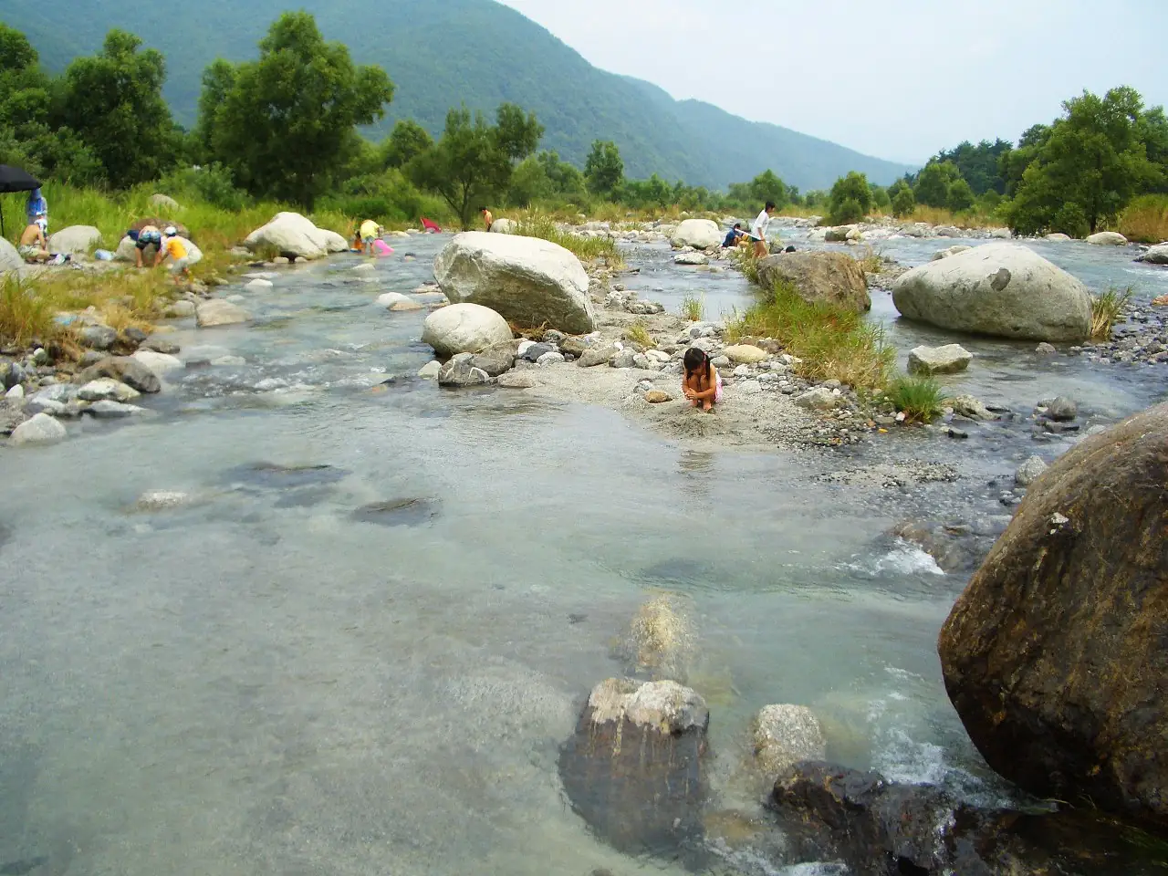
Clear waters of the Omukawa River | Hakushu Photo credit
WATER / Ojiro & Omukawa rivers
White rocks. Clear water.
The Ojiro River in Hakushu is one of Japan’s 100 Remarkable Waters selected in 1985. Flowing down from Mount Kaikoma, it creates a landscape of granite rocks, deep pools and waterfalls.
On a first visit, aim for Sengafuchi
The tourism association estimates about 15 minutes on foot from its recommended car park to Sengafuchi. Allow time for the return walk and for enjoying the water. The gorge trail beyond requires hiking equipment.
The photograph shows the Omukawa River in Hakushu. White rocks and clear water can also be found along rivers other than the Ojiro.
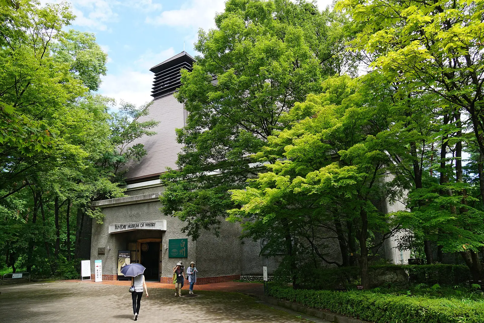
At Hakushu Distillery, whisky production sits beside woodland. Tours, a museum, a shop and a lounge offer different ways to spend your visit.
First check how to apply for the tour or admission option you want. Some tours use a lottery. For options requiring a reservation, build the rest of your day around your booking.
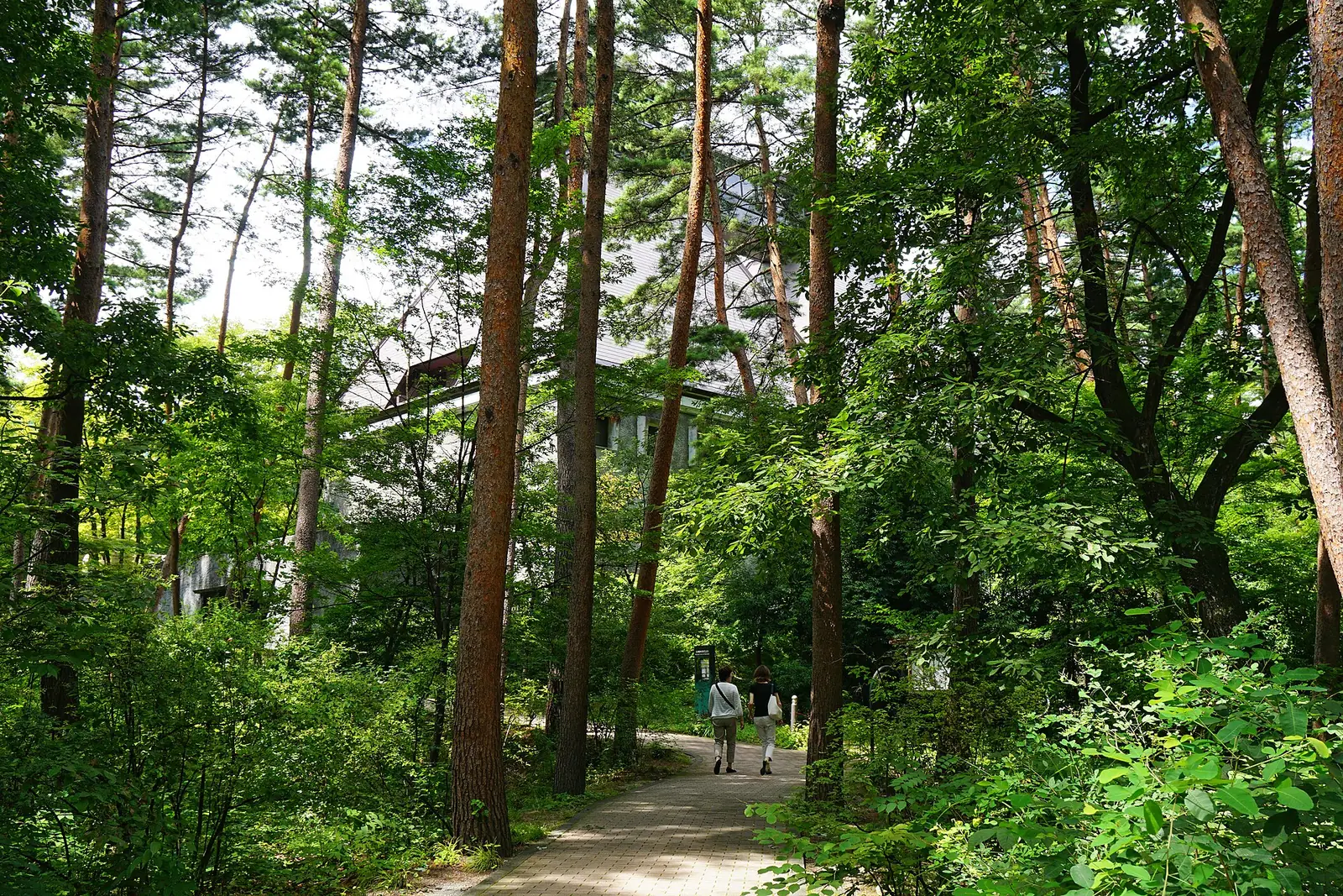
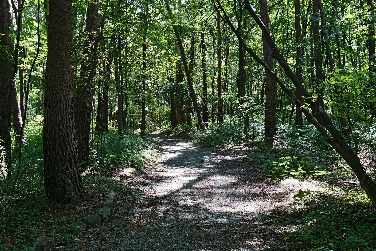
A park with forest paths, water play areas, camping and accommodation, and the Ojiro-no-Yu day spa. Walk, play or warm up, choosing activities to suit your group. The photographs above show Hakushu Distillery’s forest, a separate facility from Verga.
If you plan to taste alcohol, arrange transport that does not require you to drive. Check each facility’s current guidance for tours, opening days and available services.
Daigahara flourished as a post town on the Koshu highway during the Edo period. Hokuto highlights its historic streetscape and a road selected among Japan’s 100 notable roads.
Leave time in a Hakushu day for both rivers and forests and a pause in town. Admire brewery buildings, choose sweets and look for seasonal ingredients on the way home. The pleasure of this water-rich region continues at your table.
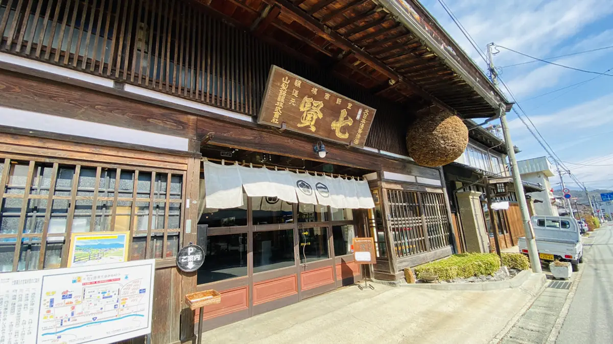
Yamanashi Meijo is the sake brewery in Daigahara. Its official website introduces tastings at the shop and brewery tours. Check which areas are open and the reservation requirements before visiting.
This Hakushu confectioner has been operating since 1902. Explore seasonal offerings as well as classics. Products such as Mizu Shingen Mochi are seasonal, so check availability and opening information for your visit.
Hakushu roadside station has a farm shop selling local vegetables, fruit and rice, as well as places to eat. Stop by during a trip or explore the ingredients of everyday life here.
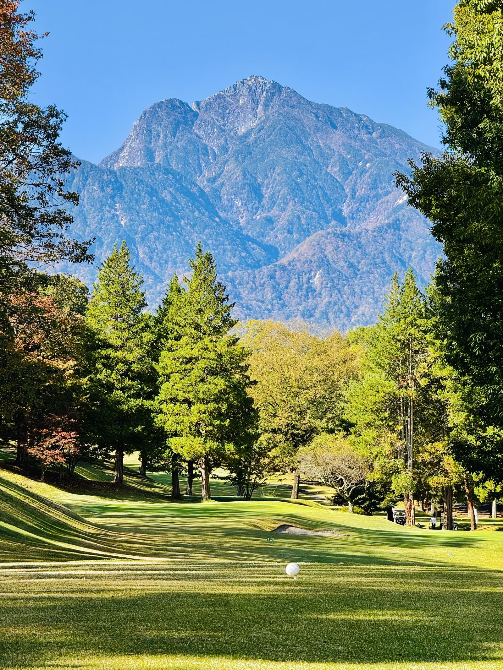
Kaikoma Country Club in Mukawa, Hokuto offers golf among trees and mountain scenery. Add a short side trip when you come to inspect land, and enjoy another side of a day in Hokuto.
A suggested day from Sawa Bank. Arrange transport between stops and change the order to suit opening times and weather. This itinerary does not include hiking farther into the gorge.
See the water at the Ojiro River
Walk to Sengafuchi and back in the morning. Watch your footing while enjoying photos and riverside views. On rainy days or when access is restricted, start with a town walk instead.
Pause in Daigahara
Visit the historic streets around lunchtime. Check restaurant opening days, brewery visitor information and what the sweet shops have on offer as you explore.
Walk in Verga’s forest
Take a relaxed afternoon in the park. Choose from facilities open that day, such as woodland walks or hot springs. Staying longer in one place is another way to enjoy Hakushu.
Choose seasonal produce
Browse vegetables and rice at the roadside station before heading home. Shop earlier if closing times make that more practical. A cooler bag can be useful.
If Hakushu Distillery is the main event
Check the application rules for your tour or admission option and plan around the booked time. Adding just Daigahara or the roadside station before or after leaves more time inside the facility. Decide whether you will taste alcohol before choosing transport.
If visiting with young children
Base the day around a facility such as Verga whose access conditions you can check in advance. Allow extra time for breaks and changing clothes. Treat Sengafuchi as a waterside walk, without swimming, and plan deeper gorge hikes separately.
If exploring a move or a second base
Alongside sightseeing, drive the actual routes from a potential home to shops, medical facilities and stations. Return on weekday mornings and evenings, in rain and in winter. Checking holiday convenience separately from daily travel helps you picture living here.
GETTING HERE & AROUND
Plan beyond arrival. Think about getting around.
Choose your destination first, then the station, expressway exit and local transport. Plan both outward and return journeys so you can enjoy your time on site.
TRAIN
Arriving by train
Hinoharu, Nagasaka and Kobuchisawa on the JR Chuo Main Line are useful gateways. From Kobuchisawa, the Koumi Line heads toward Yatsugatake’s southern slopes. Check onward buses or taxis and the return journey as well as your arrival time.
The Chuo Expressway has three exits here: Sutama, Nagasaka and Kobuchisawa. Navigate to the facility’s car park, not just its address. When inspecting land, check the final narrow approach and somewhere to turn the car around.
The municipal bus network combines main and branch routes. Demand-responsive buses require user registration and advance booking. Check service areas, days and booking deadlines to see whether they fit your plans.
Consider museums, hot springs or Daigahara shops after checking they are open, rather than insisting on a riverside walk. Check distillery admission and tour requirements first. Avoid swollen rivers and closed roads, and save outdoor inspections for another day.
Transport sources checked on 31 October 2026. Confirm current timetables, operating days and opening information with each official source.
FOUR SEASONS
One visit is only a beginning. Hakushu through the seasons.
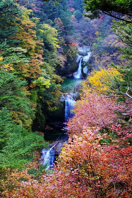
Autumn at Jinja Falls, Ojiro River Valley | Hakushu Photo credit
SPRING
Walk among fresh green leaves
Combine forest and town walks as the trees change color. Check whether winter closures on gorge trails have been lifted before planning your route.
SUMMER
Enjoy shade and waterside views
Spend longer in the woods. For water play, check permitted locations and conditions on the day; do not assume swimming is allowed at Sengafuchi.
AUTUMN
Enjoy the gorge’s autumn colors
The tourism association suggests late October to mid-November upstream on the Ojiro, and early to late November downstream, as typical foliage periods. Timing varies by year and location.
WINTER
Make time for town and hot springs
Check opening information and combine town walks with a hot spring visit. If considering living here, also inspect sunlight, icy roads and winter protection for plumbing.
The photograph shows Jinja Falls in November 2008, not current trail conditions. For seasonal and gorge access information: Hokuto City Tourism Association ↗
LIVING IN HAKUSHU
From a place to visit to a place to live.
If Hakushu’s scenery wins you over, picture an ordinary day next. An address in Hakushu alone is not enough: each potential home or parcel needs a closer look.
Drive the routes to shops and stations
Check actual roads to the shops, medical facilities and stations you use, rather than straight-line distances. Consider hills, narrow stretches, visibility at night and the drive home at your usual time.
Check alternatives to driving
The municipal network includes demand-responsive buses in the Hakushu–Mukawa area. Check operating days, stops and booking methods against your commuting and shopping needs. The city has announced route changes for fiscal 2026.
Even within Hakushu, elevation, slope direction, trees and mountains change conditions. The Oizumi weather data below helps describe Hokuto, but does not represent the temperature at each location in Hakushu.
Check domestic water separately from nearby streams
A nearby stream does not determine your home’s water supply. Check mains connections, wells, drainage, maintenance responsibilities and costs in the property documents and on site.
Plan woodland care and access
Who will mow, clear leaves and manage branches? Can cars and machinery enter? Estimate the work involved after buying, including boundaries and access rights.
Ask about community life
Ask local contacts and the city’s relocation service about neighborhood associations, rubbish collection, living conditions and housing. Hokuto’s relocation consultations require advance booking.
This search combines Hokuto with the keyword “Hakushu” in Japanese. There may be no matching properties at present.
TRY THE EVERYDAY
Stay a night. Try the rhythm of everyday life.
Is somewhere you enjoyed on holiday also comfortable day to day? Sawa Bank suggests a way to inspect the area when considering relocation or a second base.
01
Focus on a smaller area
Choose one place to explore, then shop and eat nearby. Rather than comparing all eight towns in a day, take time to see a favorite area in the morning and evening.
02
Try an ordinary day
Travel from your accommodation to a shop or station, check the internet connection you would use for work, and drive the roads at dusk. Add daily errands alongside sightseeing.
03
Ask the right people
Ask the city’s relocation service about daily and community life, and the lister about property boundaries, roads and utilities. Separating these questions makes the next steps clearer.
Explore the city’s trial housing
Hokuto provides information on trial housing for prospective residents. Its purpose and application process differ from tourist accommodation. Check eligibility, application periods and vacancies on the city’s website before planning.
The city also accepts consultations on holidays and outside office hours by prior appointment. Available dates and locations depend on the supporter. Check the booking calendar once you know your visit dates.
Program sources checked on 31 October 2026. The visit sequence and checklist are editorial suggestions from Sawa Bank.
HAKUSHU IN HOKUTO
From Hakushu to the whole of Hokuto.
Hakushu is one of Hokuto’s eight towns. The sections below use city-wide sources to explore water systems, mountains, climate and land regulations. When considering life in Hakushu, keep track of exactly where each data point comes from.
A schematic view of mountains and living areas
A simplified diagram of the terrain from Mount Kaikoma to Yatsugatake. Heights are exaggerated; this is not an actual cross-section.
NUMBERS
Hokuto in numbers
All sources are collected at the end of the page. The superscript numbers beside facts link to their sources.
Area
602.48km² 13.5% of Yamanashi Prefecture; its largest city by area [1]
Forest and similar land cover
Approx. 76 % More than three quarters of the city’s area [1]
Nationally selected water sites
3 sites Two selected in 1985 and one in the 2008 Heisei selection [2]
UNESCO biosphere reserves
2 reserves Minami-Alps (2014) and Kobushi (2019) [3]
Approx. 2 hours By JR Chuo Line limited express to Kobuchisawa; also about two hours by car from the Tokyo metropolitan area [6]
WATER
Three distinct sources of water
Hokuto has three sites selected among the Ministry of the Environment’s celebrated waters. The city calls itself Japan’s leading home of fine water [2] . The three water systems originate in different mountains.
SOUTHERN ALPS
Hakushu’s Ojiro River
100 Remarkable Waters | Selected in 1985
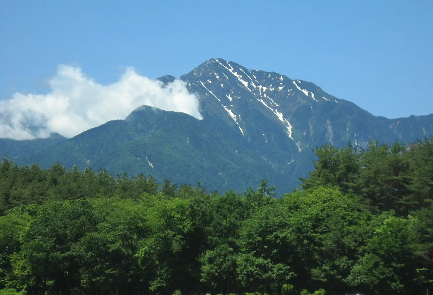
Mount Kaikoma (2,967m) is a granite mountain rising about 2,500m above its foothills on the Yamanashi side [9] . The Ojiro River flows through Hakushu at its foot [2] .
Type
River
Location
Hakushu
YATSUGATAKE
Springs of the southern Yatsugatake Highlands
100 Remarkable Waters | Selected in 1985
More than 50 springs are scattered around the southern slopes of Yatsugatake at elevations near 1,000m. Notable examples include Sanbuichi, Otaki and Metori [2] .
Sanbuichi Spring
11°C; approx. 8,500 tonnes per day
Otaki Spring
Approx. 12°C; approx. 22,000 tonnes per day
OKUCHICHIBU
Headwaters of Kinpu and Mizugaki
Heisei 100 Remarkable Waters | Selected in 2008
The Hontani River and Kamase River basins receive water from Mount Kinpu (2,599m) and Mount Mizugaki (2,230m) in the Okuchichibu mountains [2][10] .
Type
River
Location
Masutomi, Sutama
Water-based industries gather where water is available. Hakushu’s forest contains a whisky distillery completed in 1973, at an elevation of about 700m [11] . Yamanashi produced about 1.58 million kilolitres of mineral water in 2022, around 40% of Japan’s total [12] . Hokuto also has the largest area of rice paddies in the prefecture [13] .
“Remarkable Water” does not guarantee drinkability The Ministry of the Environment states that neither the original nor the Heisei selection guarantees water is suitable for drinking [14] . Hokuto advises that the southern Yatsugatake springs serve agricultural uses and are not suitable for drinking untreated [2] . Sawa Bank likewise does not label streams on listed land as drinkable or available for use. We explain why in our note article .
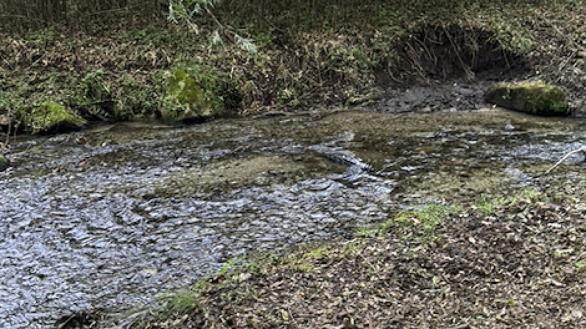
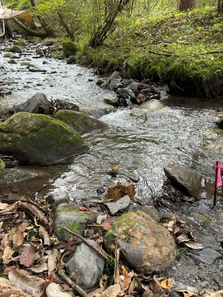
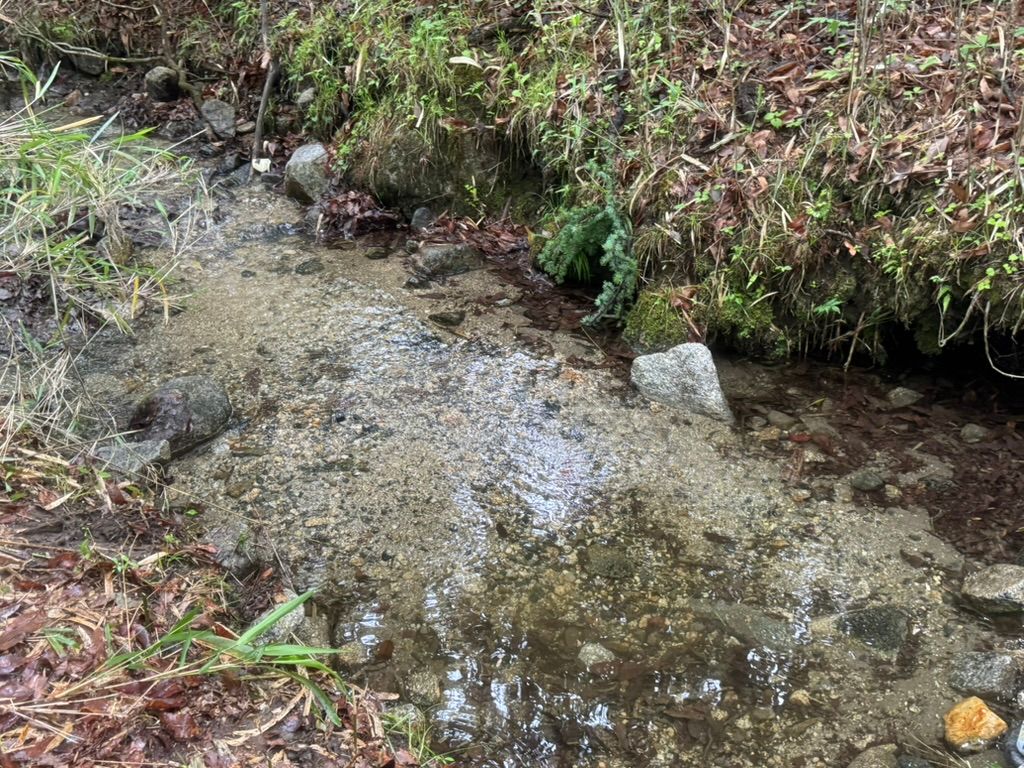
A stream in Yanagisawa, Mukawa, Hokuto, on woodland owned by our company. Water between moss-covered rocks, also in Yanagisawa, Mukawa. On 22 September 2026, water temperature was 13.4°C and air temperature 26.3°C (one measurement).
MOUNTAINS
High peaks above everyday life
People live at elevations of roughly 400–1,400m within the city [6] . Mountains marking the city’s boundaries rise directly above them.
Mountains listed in the city’s guide. The band marks the elevation range of residential areas [10][6]
View data table
Mountain
Elevation
Area (city classification)
Mt. Kaikoma
2,967m
Southern Alps
Aka
2,899m
Yatsugatake
Gongen
2,715m
Yatsugatake
Kinpu
2,599m
Okuchichibu
Mizugaki
2,230m
Okuchichibu
Kayagatake
1,704m
Okuchichibu
Hinatayama
1,660m
Southern Alps
Yatsugatake lies to the north; the Okuchichibu peaks of Mizugaki and Kinpu to the northeast; Kayagatake to the east; and the Southern Alps extend from Kaikoma to the southwest [1] .
The city includes two national parks, one quasi-national park and one prefectural nature park : Chichibu-Tama-Kai National Park, Minami Alps National Park, Yatsugatake-Chushin Kogen Quasi-National Park and Minami Alps Koma Prefectural Natural Park [1] .
The Minami-Alps and Kobushi UNESCO biosphere reserves were designated on 12 June 2014 and 19 June 2019 respectively. According to the city, Hokuto is the only municipality in the world containing parts of two designated reserves [3] .
The land lies on mountain foothills. Volcanic plateaus on the southern slopes of Yatsugatake and Kayagatake are separated from the low plains along the Kamanashi River by river-cut terraces [1] . Even within Hokuto, water, sunlight and cold vary with the foothill and elevation.
SUNSHINE & WINTER
More sunshine, less rain, cold winters
Japan Meteorological Agency climate normals for 1991–2020 at Oizumi (867m elevation, Oizumi, Hokuto) are shown alongside Tokyo [4][5] . Oizumi is just one observation point; it does not represent all of a city with such large elevation differences.
Annual sunshine
2,249.2 hours Tokyo: 1,926.7 hours (about 1.17×)
Annual precipitation
1,146.8mm Tokyo: 1,598.2mm (about 70% as much)
Annual mean temperature
11.3℃ Tokyo: 15.8°C (4.5°C cooler)
Monthly sunshine (climate normals)
Oizumi exceeds Tokyo in all 12 months, with the largest gaps in October and November.
Oizumi (Hokuto)
Tokyo
View data table: sunshine, temperature and rainfall
Units: hours of sunshine; °C for temperature; mm for precipitation
Month
Sun: Oizumi
Sun: Tokyo
High: Oizumi
High: Tokyo
Low: Oizumi
Low: Tokyo
Rain: Oizumi
Rain: Tokyo
Jan
205.7
192.6
4.7
9.8
-5.0
1.2
40.9
59.7
Feb
196.3
170.4
6.0
10.9
-4.6
2.1
41.9
56.5
Mar
205.7
175.3
10.1
14.2
-1.1
5.0
77.3
116.0
Apr
211.9
178.8
16.0
19.4
4.1
9.8
82.4
133.7
May
210.7
179.6
20.8
23.6
9.5
14.6
96.5
139.7
Jun
158.1
124.2
23.5
26.1
14.2
18.5
135.1
167.8
Jul
163.0
151.4
27.3
29.9
18.5
22.4
155.5
156.2
Aug
194.2
174.2
28.7
31.3
19.1
23.5
127.3
154.7
Sep
150.2
126.7
24.2
27.5
15.1
20.3
171.1
224.9
Oct
166.3
129.4
18.5
22.0
8.8
14.8
138.6
234.8
Nov
187.0
149.8
13.1
16.7
2.8
8.8
48.0
96.3
Dec
195.6
174.4
7.6
12.0
-2.2
3.8
32.2
57.9
Year
2,249.2
1,926.7
16.7
20.3
6.6
12.1
1,146.8
1,598.2
Mean daily maximum temperature
28.7°C in August, 2.6°C below Tokyo.
Oizumi (Hokuto)
Tokyo
Mean daily minimum temperature
Average morning lows are below freezing from December to March.
Oizumi (Hokuto)
Tokyo
Climate normals are 30-year averages. Oizumi’s record low is −14.4°C (20 January 1984), and its record high is 36.5°C (11 August 2013). It also recorded 36.1°C on 23 July 2026 [15] . Although generally cool, summer days can exceed 35°C.
The Kayagatake and Mizugaki areas are sometimes promoted as having Japan’s longest sunshine duration [3] . Here we use JMA climate normals to allow comparisons on the same basis.
8 TOWNS
Eight towns, one city
Hokuto was formed on 1 November 2004 through the merger of seven towns and villages: Akeno, Sutama, Takane, Nagasaka, Oizumi, Hakushu and Mukawa. Kobuchisawa joined on 15 March 2006 [7] . Addresses still use the former town names.
Population and households in Hokuto’s eight towns (1 October 2026)
Town
Population / households (1 October 2026)
Local features (official sources)
Akeno
4,198 residents 2,047 households
Umenoki Archaeological Site (National Historic Site); Yatsushiro Family Residence (Important Cultural Property) [16]
Sutama
5,179 residents 2,605 households
Kinpu–Mizugaki headwaters in Masutomi (Heisei 100 Remarkable Waters) [2] ; the large zelkova trees at Nekoya Shrine (Natural Monument) [16]
Takane
8,948 residents 4,412 households
Kiyosato, with Kiyosato Station on the JR Koumi Line [6]
Nagasaka
8,673 residents 4,498 households
Nagasaka expressway exit and Nagasaka Station on the JR Chuo Main Line [6]
Oizumi
5,427 residents 2,795 households
Kinsei Archaeological Site and Yato Castle ruins (Historic Sites); the large azalea at Utsukushimori (Natural Monument) [16] ; JMA’s Oizumi weather station [4]
Kobuchisawa
5,844 residents 3,074 households
Kobuchisawa Station, served by limited express trains [6] ; the former Hirata Family Residence (Important Cultural Property) [16]
Yamataka Jindai cherry tree (Natural Monument) [16] ; Sawa Bank’s model stream property
Population and household counts are from Hokuto’s monthly Basic Resident Register totals [8] . Bar lengths are relative to Takane, the most populous town, set at 100.
NATURAL MONUMENT
Yamataka Jindai cherry tree
National Natural Monument | Designated in 1922
An Edo-higan cherry tree at Jissoji Temple in Yamataka, Mukawa. Designated a Natural Monument on 12 October 1922, its trunk circumference at eye level is 10.6m [17] . The city describes it as a cherry tree said to be 2,000 years old [18] .
JOMON
Kinsei Archaeological Site
National Historic Site | Designated in 1983
A late-to-final Jomon settlement in Oizumi. Its stone arrangements are thought to have been built over more than 100 years, with suggested connections to winter-solstice sunset and the direction of equinox shadows [19] .
HERITAGE
Ten nationally designated cultural properties
As of 1 April 2020
Examples include the Japanese serow (Special Natural Monument), Japanese dormouse, Yato Castle ruins, Umenoki Site, Yatsushiro and former Hirata residences, Utsukushimori’s large azalea and Nekoya Shrine’s large zelkova trees [16] .
HONEST NOTES
The challenges deserve space too
These are things better understood before buying than discovered afterwards.
Oizumi’s January low averages −5°C
Oizumi’s mean daily minimum temperature in January is −5.0°C [4] . Strong winter winds descending from Yatsugatake are known locally as Yatsugatake-oroshi [1] . The city advises that winter tyres are essential [6] .
Heavy snow can occur: Kofu recorded 114cm of snow depth on 15 February 2014 [20] . Exposed water pipes and intake hoses can freeze.
Plan daily journeys in practical detail
Check how you would reach shops, medical facilities and stations from a potential home. Municipal buses and demand-responsive services in Hakushu–Mukawa are available. Check routes, stops and reservation conditions that fit your routine in the city’s current guidance before you decide.
Less rain means seasonal changes in streams
Annual precipitation is about 70% of Tokyo’s, with especially little rain in winter. Oizumi recorded 0.0mm of precipitation in January 2026 according to the data [15] . Some channels flow only after rain. If viewing land with a stream, we recommend a winter visit too.
Wildlife is part of the setting
The city’s wildlife damage plan covers wild boar, sika deer, Japanese macaques, masked palm civets and Asian black bears. In fiscal 2020, macaques caused the largest crop losses, about ¥14.2 million; the city reported roughly 13 troops. The plan also notes increasing bear sightings [21] . If growing crops, include fencing in your plan from the start.
Solar installations have increased
In October 2019, the city introduced a permit system for solar installations of 10kW or more, excluding those on building roofs [22] . Before buying, check on site and with the city for existing or planned installations nearby.
Climate differs within the city
Residential areas span more than 1,000m in elevation [7] . Even the Oizumi and Sutama branch offices differ in elevation by about 400m, which the city suggests leads to different average temperatures [1] . The weather data on this page is for Oizumi. Consider the elevation of your own prospective land.
BEFORE YOU BUY
Procedures to check before owning land in Hokuto
Hokuto lies outside city planning areas and has no roads designated under the Building Standards Act [23][24] . In addition to checking whether building confirmation is required, notifications under city ordinances may apply. The main procedures are listed below. Regulations change, so confirm your own plan with the relevant authority.
When acquiring forest covered by a Regional Forest Plan, regardless of size. Not required if the National Land Use Planning Act notification above has been submitted.
When acquiring rights to paddy fields or farmland, permission under Article 3 of the Agricultural Land Act is required. Contracts without the required permission are invalid.
New construction, extension, reconstruction or relocation of buildings of 10m² or more, including garages, sheds and agricultural storage buildings, under the city’s community development ordinance.
In designated mountain/highland landscape areas: construction over 10m² of floor area, changes to land exceeding 300m², walls over 1.5m high and other specified works. Area classifications can be checked by parcel number.
Changes to the subdivision or physical form of a contiguous area of at least 1,000m², or structures at least 15m high, under the community development ordinance.
Requirements depend on the number of storeys, size and use, not just the area designation. Following the April 2025 revision, buildings of two or more storeys or over 200m² total floor area require confirmation even outside city planning areas and similar zones [35] . Confirm individual plans with the relevant authority.
Installations of 10kW or more, excluding building rooftops. Where the prefectural ordinance applies, permission is from the prefectural governor.
Permission before installation
Responsible city department
For construction, development and landscape matters, contact Hokuto’s Land Policy Division, Construction Department (0551-42-1361) [31] . This page is not legal advice. Our company is not a licensed real estate brokerage and does not broker or act as agent in sales.
QUESTIONS BEFORE YOUR VISIT
Before visiting Hokuto, a few common questions.
Are Hakushu, Kiyosato and Kobuchisawa all in Hokuto?
Yes. Hakushu, Kobuchisawa and Takane, where Kiyosato is located, are all in Hokuto. The city has eight towns with different mountain settings, elevations and distances from stations. Checking your destination’s exact location, rather than relying on its name, makes planning easier.
Choose one main focus: the Ojiro River for waterside views, Daigahara for historic streets, or Verga for forest time. For the distillery, check admission arrangements first. Add nearby stops to suit the weather and opening times.
You can combine the Chuo and Koumi rail lines with buses and taxis. However, not every destination is walkable from a station. Municipal demand-responsive buses require registration and reservations. Choose the facilities or land you want to visit, then check transport in both directions.
Is a summer visit enough to judge everyday living?
We recommend returning in another season. Elevation, slope direction and shaded roads differ within the city. Check winter morning journeys, protection for plumbing, heating and maintenance needs. The climate charts on this page are reference data from Oizumi station.
What should I decide first when looking for land with a stream?
Start with how you will use the land: living there, weekend visits or time in nature. Then decide whether the stream must run through the property, border it or simply be nearby, along with your budget and access needs. Compare regional appeal separately from each property’s conditions.
Where can I apply for relocation advice or a trial stay?
Hokuto’s relocation portal links to weekday and weekend consultations, the vacant-home bank and trial housing. Check the city’s official pages for available consultation dates and housing eligibility. Sawa Bank’s model-site visits are a separate way to experience land with a stream.
A place that is enjoyable to visit and land that suits long-term use require different checks. Plan sightseeing and property inspections separately.
Choose where you want to go
Choose a destination around the experience you want: Kaikoma CC, celebrated waters or a historic street walk. Check opening times and reservation requirements on each facility’s official site.
Check routes from prospective land to shops and main roads. Elevation and road conditions vary within the city, so do not judge daily comfort by the place name alone.
A water-rich region does not mean you can freely use water on a particular property. Check the stream’s position, boundaries and use conditions for each parcel.
See listed land, celebrated waters, mountains and stations on the map.
Locations are approximate. Land pins are based on town or locality-level addresses, not exact parcel locations or boundaries. Water sites, mountains and stations use GSI place-name search coordinates. Map: GSI pale map tiles.
SAWABANK IN HOKUTO
What Sawa Bank offers in Hokuto
We own woodland in Mukawa, Hokuto, and continue working on it. Hokuto and Nirasaki are areas where Sawa Bank conducts detailed terrain analysis.
For relocation advice, contact Hokuto City The city has a relocation consultation service by appointment and a vacant-home bank. Program and subsidy conditions can change by fiscal year, so ask the city directly [33][34] .
SOURCES
Sources
The figures and descriptions on this page are based on the sources below, checked on 26 October 2026. Figures reflect the publication dates of each source.
Sources for areas, transport and inspection visits
The following were checked on 31 October 2026. Visit sequences and the inspection checklist are suggestions from Sawa Bank.
Facility and transport information was checked on 26 October 2026. The day itinerary and lifestyle inspection points are Sawa Bank’s editorial suggestions based on these sources.
Weather figures are published by JMA. Climate normals are 30-year averages for 1991–2020; Oizumi is an AMeDAS station. Maps and terrain illustrations are approximate and do not establish boundaries or permitted land uses. This site makes no claim about property appreciation or development feasibility.
Photo sources and licences
These are photographs of actual places in Hokuto, mainly Hakushu, showing the scene at the time photographed. Images have been resized, converted to WebP and in some cases cropped. The following licences apply to the original photographs and these adaptations.