
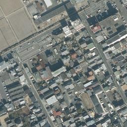
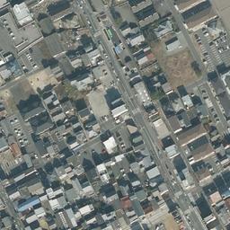
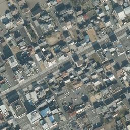
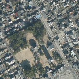
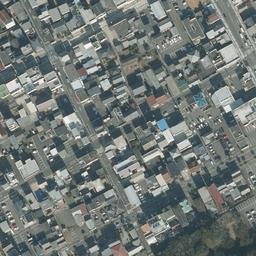
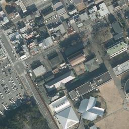
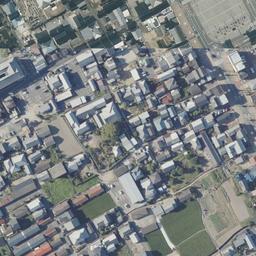
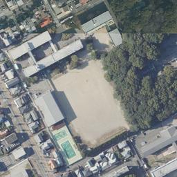
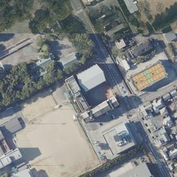
香川県善通寺市善通寺町
沢が敷地に接する宅地
148㎡、宅地の区画です。
- Price
- ¥4,500,000 (約0.037 acres)
- Location
- 香川県善通寺市善通寺町
- Area
- 148㎡(約0.037 acres)
- Land category
- Residential land
- Stream relation
- Stream borders the property
- Road access
- 二方(南西17m公道/北東3.2m二項道路・SB要)
- Hazard zones
- Landslide alert zone (yellow) Projected flood inundation area Result of matching this listing's approximate position against MLIT Real Estate Information Library data. The coordinates are approximate, derived from the address down to district level, so this is not a determination for the parcel itself. Always verify designations against the municipal hazard map and with the lister.
- Points to note
- 床板の掛け替え費用が必要・占用料 年3万円余
- Listed by
- ハトマークサイト
- Terrain analysis
- Outside coverage This property lies outside the area covered by our SAWA terrain analysis, which is complete for approx. 87,000 parcels in Hokuto, Nirasaki and Minami-Alps, Yamanashi and is being extended to other regions. For now, the stream relationship shown comes from the lister information.
Road access
Site conditions, boundaries, utility connections, whether you can build, price discussion — ask the lister directly about anything not shown here.
For the owner of this land, or the listing agent.
Corrections, photographs you would like published, or removal of the listing — all handled free of charge. Removal requests are actioned the same day.
Request a change to this listing
Please verify. Listing details come from the lister and include estimates derived from terrain data. Year-round flow, boundaries, water rights, road access and development feasibility must be verified on site and with the lister. This site makes no claim about future value or usability. We are not a licensed real estate broker and act neither as agent nor intermediary. Enquiries go directly to each lister.
About the stream
Borders
This parcel is outside the area covered by our terrain analysis (SAWA), or has not been analysed yet. The stream relationship shown here is based on information from the lister.
Details and enquiries ハトマークサイト →
Enquiries go directly to the lister.
We do not receive or relay enquiries.
Lister page last checked: 2026.07.30
確認から46日経過しています。最新の状況は掲載元へご確認ください。