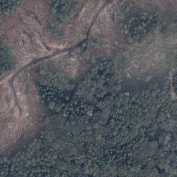
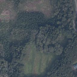
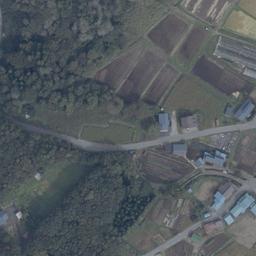
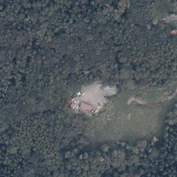
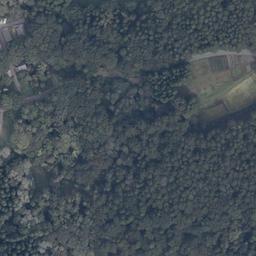
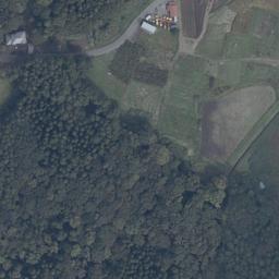
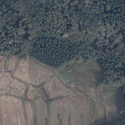
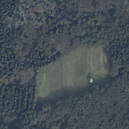
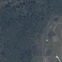
Shinanochou Kashiwabara (信濃町柏原), Nagano Stream is nearby
It is a 207-square-meter mountain forest district.
- Price
- ¥500,000 (approx. 0.051 acres)
- Location
- Naganoken Shinanochou Kashiwabara (長野県信濃町柏原)
- Area
- 207㎡(approx. 0.051 acres)
- Land category
- Forest
- Stream relation
- Stream is nearby
- Road access
- South and Highway 4.1m
- Utilities
- Public water supply without suction (with front main pipe)
- Hazard zones
- Landslide alert zone within 97m This is not a guarantee that the land lies outside any zone. Based on what the lister states. The coordinates are approximate, derived from the address down to district level, so this is not a determination for the parcel itself. Always verify designations against the municipal hazard map and with the lister.
- Points to note
- Kurohime Station 1,800 m
- Listed by
- (株)アルプスピアホーム
- Terrain analysis
- Outside coverage This property lies outside the area covered by our SAWA terrain analysis, which is complete for approx. 87,000 parcels in Hokuto, Nirasaki and Minami-Alps, Yamanashi and is being extended to other regions. For now, the stream relationship shown comes from the lister information.
Site conditions, boundaries, utility connections, whether you can build, price discussion — ask the lister directly about anything not shown here.
For the owner of this land, or the listing agent.
Corrections, photographs you would like published, or removal of the listing — all handled free of charge. Removal requests are actioned the same day.
Request a change to this listing
Please verify. Listing details come from the lister and include estimates derived from terrain data. Year-round flow, boundaries, water rights, road access and development feasibility must be verified on site and with the lister. This site makes no claim about future value or usability. We are not a licensed real estate broker and act neither as agent nor intermediary. Enquiries go directly to each lister.
About the stream
Nearby
This parcel is outside the area covered by our terrain analysis (SAWA), or has not been analysed yet. The stream relationship shown here is based on information from the lister.
Details and enquiries Alpine Spire Home Co., Ltd. →
Enquiries go directly to the lister.
We do not receive or relay enquiries.
Lister page last checked: 2026.10.28