
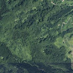
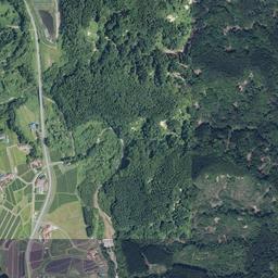
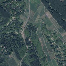
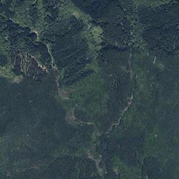
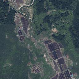
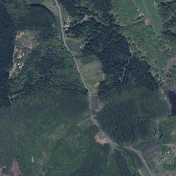
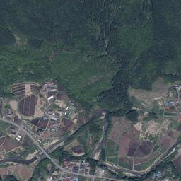
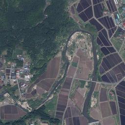
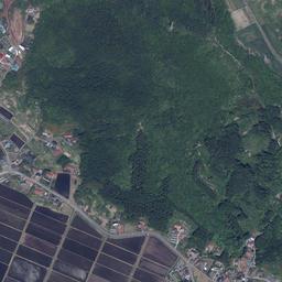
View surroundings on GSI Maps ↗
加美町, Miyagi 南側に沢がある、平坦・緩傾斜の山林
24,959㎡の山林。東側で町道に長く接し、平坦部と緩い斜面があります。植林部分には竹の侵入が見られるとの掲載元報告です。
- Price
- ¥2,390,270 (approx. 6.167 acres) 掲載元表示:2,390,270円。諸費用は掲載元へご確認ください。
- First listed on Sawa Bank
- Location
- 宮城県加美町
- Area
- 24,959㎡(approx. 6.167 acres)
- Land category
- Forest
- Stream relation
- Stream runs through the property
- Road access
- 東側境界が舗装された町道に150m以上接しています。林内の作業道はありません。
- Points to note
- 車の乗り入れには藪の刈り払い等が必要です。沢バンクによる現地確認・地形解析は未実施。
- Listed by
- 山いちば
- Terrain analysis
- Outside coverage This property lies outside the area covered by our SAWA terrain analysis, which is complete for approx. 87,000 parcels in Hokuto, Nirasaki and Minami-Alps, Yamanashi and is being extended to other regions. For now, the stream relationship shown comes from the lister information.
Terrain and site conditions
Based on the source listing; separate from on-site verification or SAWA terrain analysis.
- Terrain (source)
- 平坦・緩斜面
- Road access
- 東側境界が舗装された町道に150m以上接しています。林内の作業道はありません。
- Cadastral survey / boundaries
- 有
- Flat ground details
- 平坦地と緩斜面を合わせて1ha以上との掲載元説明。平坦地だけの面積は未確認です。
Source checked: · View source listing
Has flat groundLarge area
Site conditions, boundaries, utility connections, whether you can build, price discussion — ask the lister directly about anything not shown here.
For the owner of this land, or the listing agent.
Corrections, photographs you would like published, or removal of the listing — all handled free of charge. Removal requests are actioned the same day.
Request a change to this listing
Please verify. Listing details come from the lister and include estimates derived from terrain data. Year-round flow, boundaries, water rights, road access and development feasibility must be verified on site and with the lister. This site makes no claim about future value or usability. We are not a licensed real estate broker and act neither as agent nor intermediary. Enquiries go directly to each lister.
About the stream
Runs through
This parcel is outside the area covered by our terrain analysis (SAWA), or has not been analysed yet. The stream relationship shown here is based on information from the lister.
Details and enquiries Yamaichiba →
Enquiries go directly to the lister.
We do not receive or relay enquiries.
Lister page last checked: 2026.10.28